 6800ft.






| This Afternoon  Sunny |
Thursday Sunny |
Friday Sunny |
Saturday Chance Rain Showers |
Sunday Showers And T-Storms Likely |
Labor Day  Chance Showers And T-Storms |
Tuesday Slight Chance Rain Showers |
|
| High: 72 °F | High: 72 °F | High: 72 °F | High: 73 °F | High: 67 °F | High: 70 °F | High: 72 °F | |
Tonight Mostly Clear |
Thursday Night Mostly Clear |
Friday Night Mostly Clear |
Saturday Night  Chance Rain Showers |
Sunday Night  Slight Chance Rain Showers |
Monday Night Slight Chance Rain Showers then Partly Cloudy |
Tuesday Night  Partly Cloudy then Slight Chance Rain Showers |
|
| Low: 43 °F | Low: 42 °F | Low: 44 °F | Low: 47 °F | Low: 47 °F | Low: 46 °F | Low: 47 °F | |
Ben's WX Summary
- Updated: Wednesday @ 10:42am
Lots of excitement in the weather world regarding Tropical Storm Marie, currently several hundred miles south of Cabo, which is forecast to become a hurricane over the next 24 hours. This system will continue to spin off towards the west-northwest out to sea but could send some moisture in our direction over the holiday weekend. At this time, a trough off the West Coast will maintain a stronger onshore flow for cooler temperatures and gusty west winds at times. Looking at mostly sunny skies out there today with highs in the lower 70s, west winds gusting 15-25 mph during the afternoon. Daytime temperatures will remain in the lower 70s through the end of the week, with overnight lows generally in the 40s, and continued breezy conditions during the afternoons. As we head into the big holiday weekend, low pressure off the California Coast may draw tropical moisture northward into our area, with increased clouds on Saturday, where an afternoon shower or thunderstorm is possible. Scattered mainly afternoon showers and thunderstorms are possible Sunday into Monday, primarily over the mountains and deserts, but a few showers or sprinkles are possible just about anywhere. At this time, it appears the deepest moisture will move inland to our south and east, with heavier rain expected over Arizona. Temperatures will remain 5-10 degrees below average through the weekend, warming slightly by the middle of next week under weak ridging. Later next week, another tropical system in the East Pac could send additional moisture our way, but at this time, it looks like the bulk of that is also headed to our east.
| Current Conditions | Wind | Rain | Outlook | ||||||||||||||||||||||||||||||||||||
|
|
|
|
||||||||||||||||||||||||||||||||||||
| Humidity & Barometer | Snowfall | Moon | |||||||||||||||||||||||||||||||||||||
|
|
|
|||||||||||||||||||||||||||||||||||||
| UV Index | Solar Radiation | ||||||||||||||||||||||||||||||||||||||
|
|
||||||||||||||||||||||||||||||||||||||


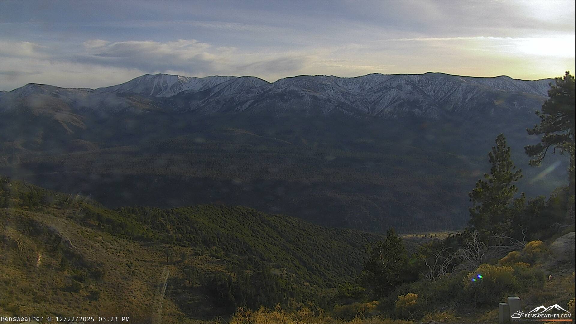
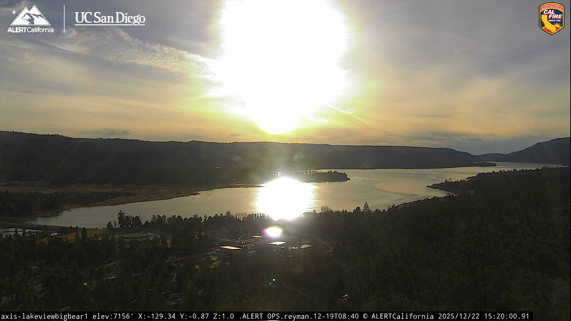
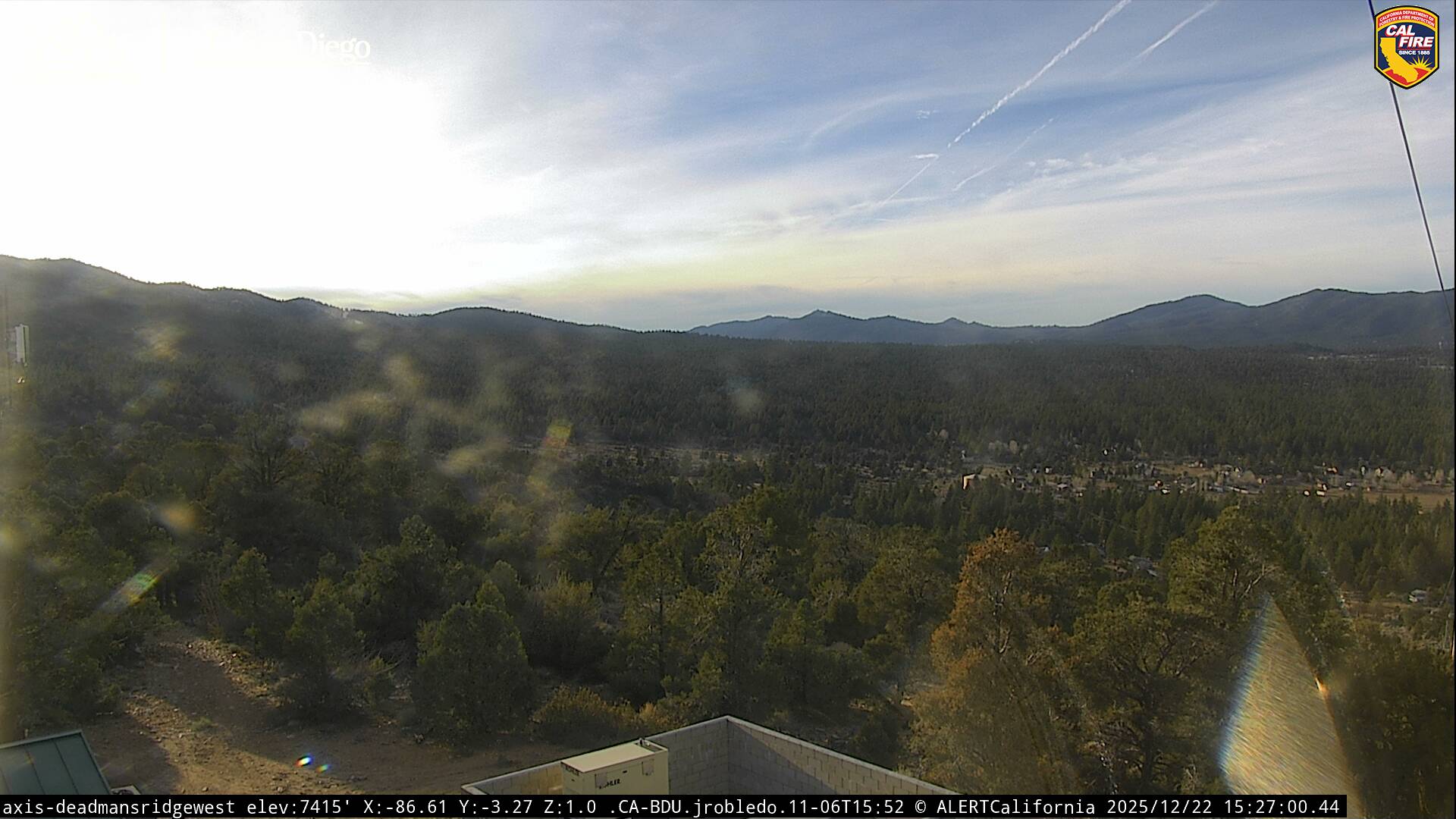
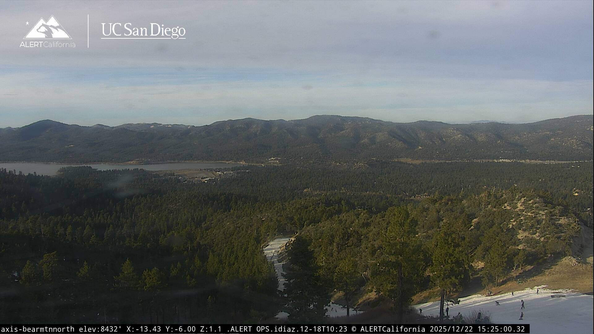
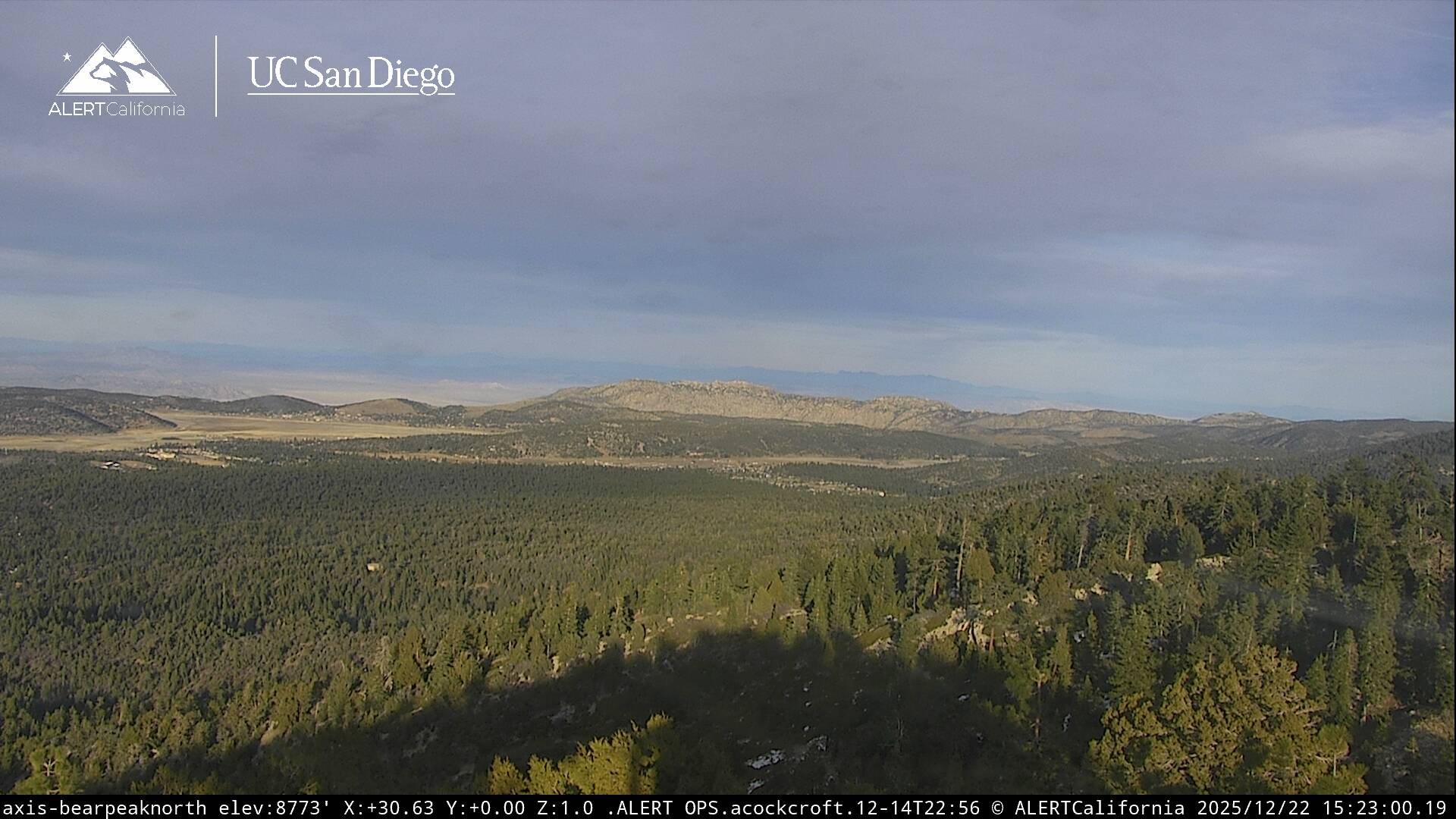
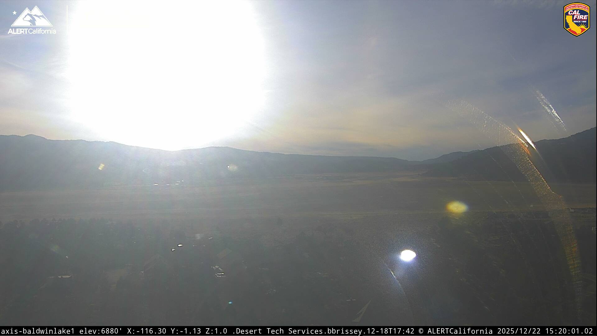
Live Cams

 © bensweather